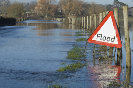
Our flood risk in Hull and the East Riding
The city of Hull has one of the highest flood risks in the UK – second only to London. Understanding why helps us all take the right steps to stay safe.
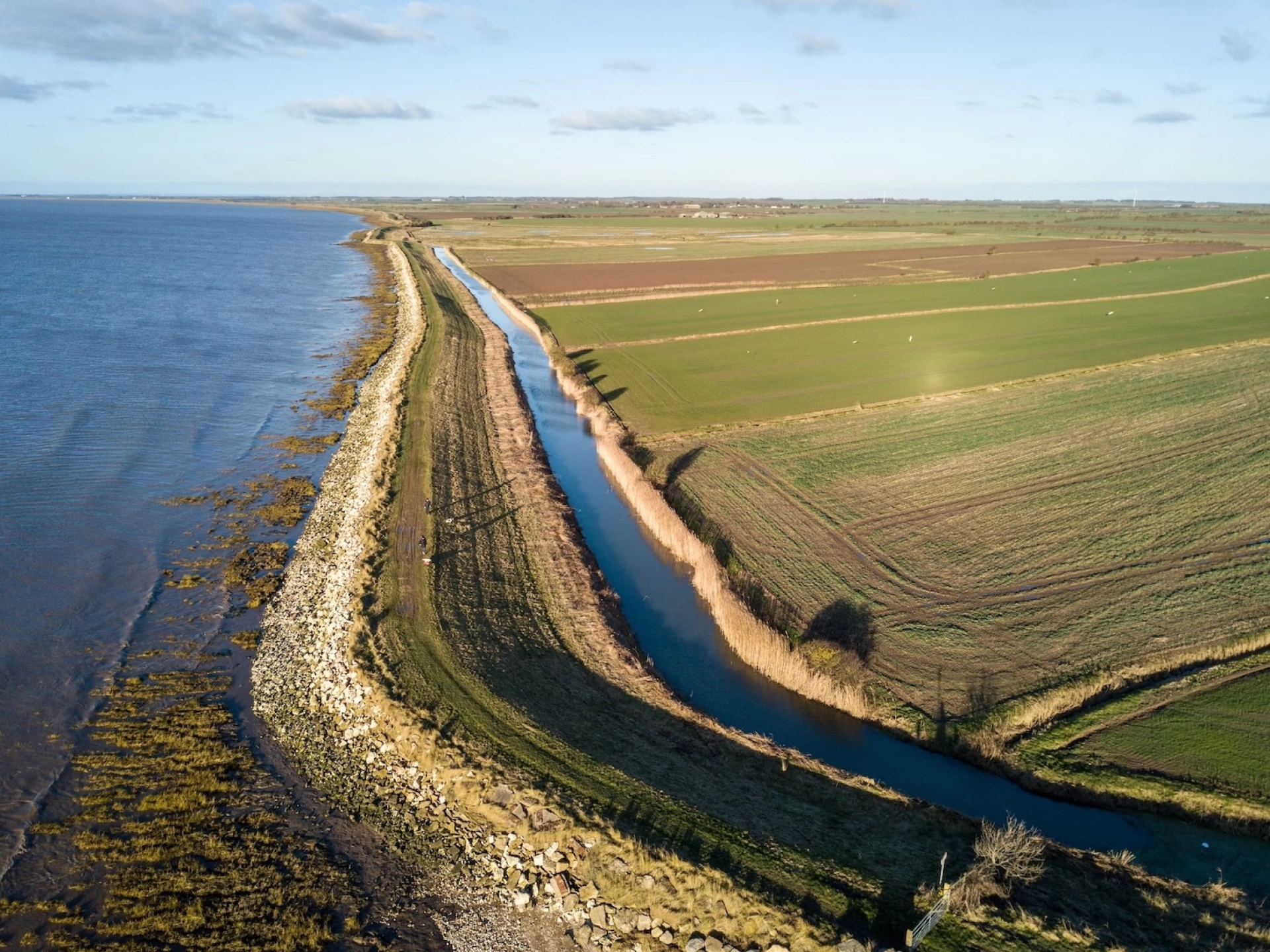
Hull sits where the River Hull meets the River Humber, close to the Humber Estuary and the North Sea. Much of the city is low-lying – many parts sit below sea level. That means water does not drain away easily, especially during heavy rain or high tides. In fact, the city is entirely reliant on pumped drainage systems just to stay dry.
Why flooding happens here
Flood risks in Hull and the East Riding come from several different sources:
- Rivers rising after heavy rainfall
- High tides pushing water up from the Humber Estuary
- Surface water when drainage systems are overwhelmed
These risks often happen together. When tides are high, water cannot drain away from the land. That makes flooding more likely across the city – even during moderate rainfall. Around 106,000 of Hull's 120,000 homes are at risk of flooding, and 95% of the city sits below the highest tide levels.
Climate change is increasing flood risks
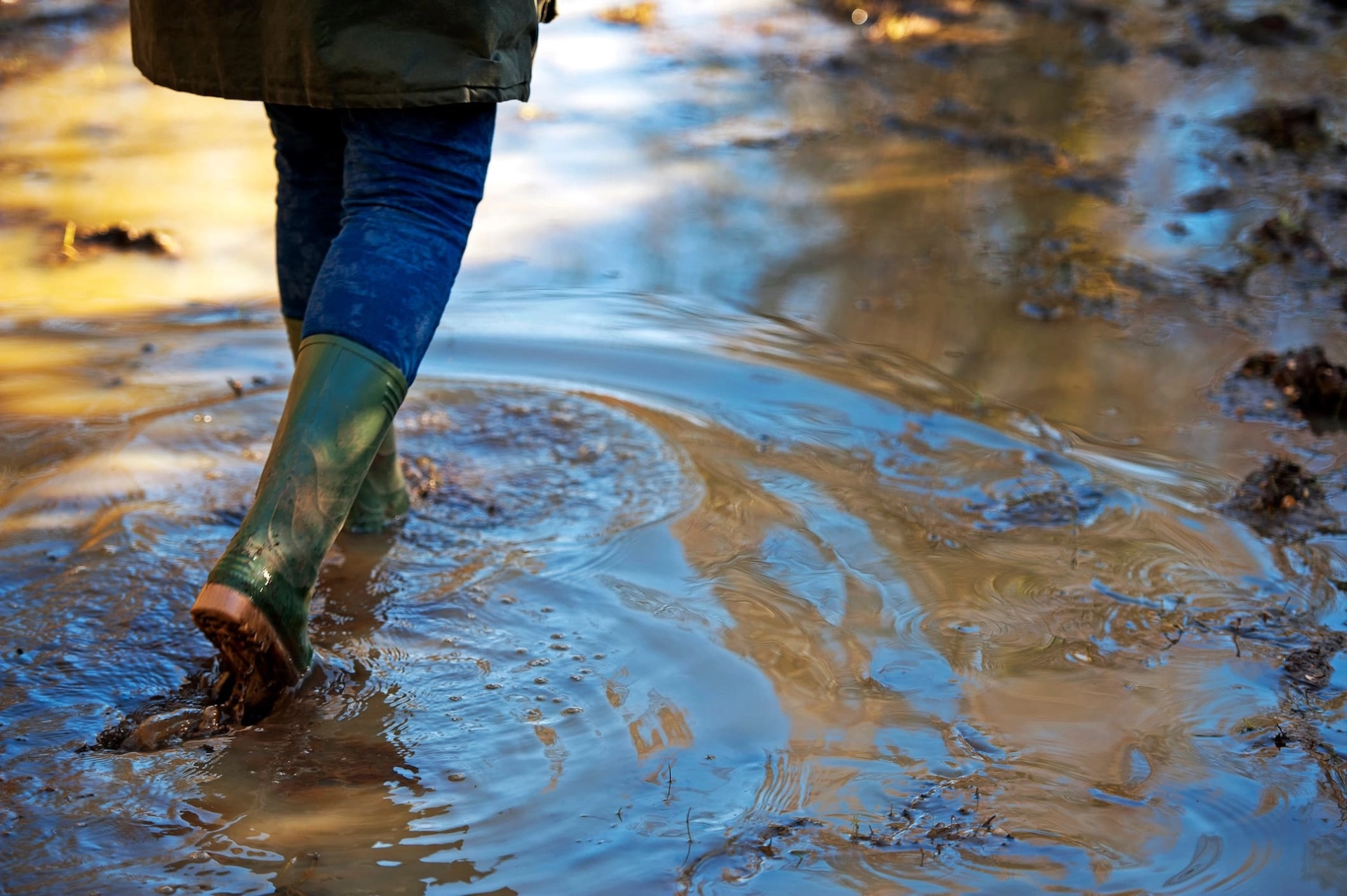
Flood risk in Hull is growing. The Humber could see a sea level rise of 10-15cm per decade, with a total rise of between 1m and 1.3m forecast over the next 100 years. Sea levels around the UK have already risen by around 17cm since 1900.
More intense storms mean flooding is becoming more frequent – and harder to predict. In a low-lying city like Hull, that puts extra pressure on drainage systems and raises the chance of surface water flooding. Over 80% of surface water in Hull flows to combined sewers, which can quickly become overwhelmed.
A city shaped by water
Hull has lived with the threat of flooding for centuries but it was the events of 2007 that transformed how the city responds. Here's a look at the flood events that shaped Hull's story, and the partnership born from them.
1953 North Sea tidal surge
claimed 300 lives across England and flooded 24,000 homes.
2013 Humber tidal surge
flooded over 1,100 properties and 7,000 hectares of land and was the largest recorded on the Humber.
June 2007 floods
Flooded 9,000 properties with 95/98 schools and 1,300 businesses affected.
In 2017, Living With Water was created in response, bringing together Yorkshire Water, Hull City Council, East Riding of Yorkshire Council, the Environment Agency and the University of Hull as an academic partner, to plan and act together.
How we are responding
Flooding cannot be completely prevented in Hull, but it can be better managed.
Between 2016 and 2022, more than £220 million was invested in flood infrastructure across the city. The long-term target is to invest £1.6 billion by 2080 in increasing flood resilience in Hull.
Living With Water is focused on reducing flood risk, improving drainage and empowering communities to better understand and prepare. That means investing in flood infrastructure, using sustainable drainage solutions and working with natural water processes – not against them.
Frequently asked questions
Flood risk in Hull is shaped by its geography. The city sits on low-lying land – some below sea level – bordered by the River Hull and the River Humber, close to the Humber Estuary and the North Sea. That makes it vulnerable to river, tidal and coastal flooding, as well as surface water flooding during heavy rain. 95-98% of dwellings in Hull are considered at high flood risk, and the Government's National Risk Register places the Humber in the highest risk category for coastal flooding.
Parts of the East Riding are also low-lying and sit close to rivers and drainage channels. Tidal flood risk from the Humber Estuary and its tributaries affects an area of over 140,000 hectares across the region. Both urban and rural areas can be affected by river flooding, surface water or groundwater.
June 2007 was the wettest month recorded in Yorkshire since 1882. Over 100mm of rain fell around Hull in a single day – a greater than 1-in-150-year storm event. Nearly 9,000 properties flooded, 95 out of 98 schools were affected and over 1,300 businesses were disrupted. The fire service received more than 1,500 calls from distressed residents.
More than £220 million was invested in flood infrastructure in Hull between 2016 and 2022. The Living With Water partnership alone invested over £20 million between 2020 and 2025 in flood infrastructure in Hull and the East Riding. The long-term ambition is to reach £1.6 billion of investment in flood risk resilience for Hull by 2080 – recognising that this is a generational challenge, not a quick fix.
The Humber could see a sea level rise of 10-15cm per decade. Over the next 100 years, that could amount to between 1m and 1.3m in total. Sea levels around the UK have already risen by around 17cm since 1900. For a city like ours, where 95% of the land sits below the highest tide levels, even modest rises have a significant impact on flood risk in Hull.
Living With Water is a partnership between Yorkshire Water, Hull City Council, East Riding of Yorkshire Council, the Environment Agency and the University of Hull. Together, they monitor, plan for and respond to flood risk in Hull and across the East Riding. Each organisation has a role to play in managing flood risk.
You can do a flood risk check using the Environment Agency's free online flood map. You can also sign up for free flood alerts, follow local council updates and use the Living With Water resources to understand the types of flooding that could affect your home or business.